


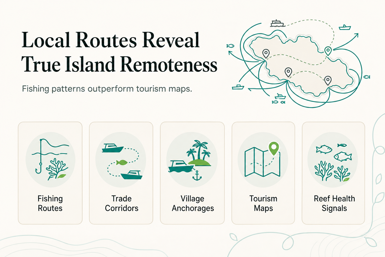
Tourism maps of the Togean Islands show resorts, accommodation options, and a handful of ferry lines. They rarely show the handline routes Bajau Laut fishermen have worked for generations, the inter-island trade corridors that move live reef fish to market, or the seasonal anchorages that determine where villages actually gather. Those unmapped routes are often better indicators of healthy reef and genuine remoteness than anything printed on a tourist brochure.
TL;DR
- Standard tourism maps plot resorts and ferry lines but omit traditional fishing and trading routes still used daily by Bajau Laut and other local communities.
- These working routes tend to track the healthiest reef structure, because fishermen follow fish, and fish follow coral.
- Reading local fishing patterns, not just tourism directories, is one of the more reliable ways to identify remote island Indonesia destinations that have not been reshaped by mass tourism.
- Reconnect, on Buka Buka Island, sits adjacent to these working routes and draws on local crews and village suppliers for its own operations.
What Do Tourism Maps Actually Show, and What Do They Leave Out?
A tourism map is built to answer one question: where can a visitor go and what will they find there. It plots accommodation, transport links, and activity hubs. It is not designed to track how a region actually functions day to day.
What it leaves out is the working layer of the islands. Fishing routes, trading anchorages, and seasonal village movements do not appear because they serve residents, not visitors. The Togean Islands sit at roughly 0.4167 degrees South and 121.8667 degrees East in the Gulf of Tomini, administered under Tojo Una-Una Regency of Central Sulawesi, with 56 islands including Batudaka, Togean, Una Una, Malenge, Waleabahi, and Kadidiri. Most of those islands have no printed tourism presence at all.
Why Do Local Fishing Routes Track Healthier Reef Than Tourism Maps Do?
Fishermen go where the fish are, and fish concentrate where reef structure and food supply are intact. That makes a working fishing route a rough but honest proxy for reef health, something a tourism map cannot show because it has no reason to track it.
Local fishermen, including the Bajau Laut, traditionally trade live reef food fish using handlines. The market has been shifting from credit-based relationships toward cash transactions and refrigerated transport, a shift increasingly dominated by male traders.
Species targeted for the live trade include:
- Barramundi Cod
- Humphead Wrasse
- Various groupers
Commercial catch for local and regional markets runs differently, dominated by fusiliers such as Caesio teres and Pterocaesio randalli. A route built around live-fish handlining visits different reef structure than one built around bulk fusilier catch, and both differ from where a dive operator would send a group for strong snorkeling conditions.
A road map shows highways; it does not show which back roads locals actually drive because they know where the potholes are. Fishing routes are the back roads of the Togean Islands: nobody printed them, but they are the most current information about where the reef is still functioning.
How Does This Change Where a Traveler Should Actually Look for Remote Islands?
A traveler relying only on diving directories ends up seeing the same handful of named sites repeatedly. Cross-referencing against where fishing activity still concentrates widens the picture considerably.
- Persistent live-fish grounds suggest intact predator populations like grouper and Humphead Wrasse, both reef-health indicators.
- Routes bypassed by refrigerated cash buyers often sit further from the main ferry corridors, meaning less boat traffic and quieter water.
- Village anchorage patterns reveal which islands have functioning communities versus which are uninhabited and effectively untouched.
None of this is secret information, but it is not what shows up when searching for Indonesia hidden gems through conventional travel content. It comes from spending time where boats actually go, not where brochures say they go.
How Do You Actually Get to These Less-Mapped Areas?
The Togean Islands have no direct flights and no roads connecting them to the rest of Sulawesi. Two main routes reach the archipelago:
| Route | Transport | Approx. duration |
|---|---|---|
| Via Luwuk | Flight to Luwuk, drive to Ampana, boat onward | 5 hour drive, then boat |
| Via Gorontalo | Flight to Gorontalo, Tuna Tomini overnight ferry to Wakai | Ferry runs twice weekly, about 12 hours |
Luwuk is the main reliable gateway. From Ampana port, daily speedboats run to Wakai (roughly 1.5 hours) and transfer speedboats serve closer islands (around 30 minutes). That logistics reality is precisely why the fishing-route layer stays invisible to casual visitors. Reaching islands where local trade still dominates over tourism infrastructure requires the same boat corridors fishermen use, not a quick hop from an airport.
Where Does a Resort Like Reconnect Fit Into This Picture?
Reconnect sits on Buka Buka Island in the Togean Islands, positioned as an island eco-resort with an on-site SSI dive center. Guests reach it via coordinated transfer: car from Luwuk Airport to Ampana, then speedboat to the island.
The resort is deliberately small: 20 rooms across 8 accommodation types, kept that way to preserve the uncrowded character that makes this stretch of water worth visiting. All-inclusive full-board rates start from EUR 60 per night, covering three meals, afternoon tea, unlimited coffee and tea, house-reef snorkeling, kayaking, and paddleboarding.
Diving means direct reef access around Buka Buka Island by short boat ride, not a long transfer to a dive site. Visibility averages about 30 meters. Reef types span atoll, fringing, barrier, and patch structures, with dive sites ranging from shallow coral gardens to volcanic walls dropping beyond 50 meters.
Reconnect hires staff locally and partners with neighboring village suppliers. The resort's supply chain connects to the same communities running the fishing and trading routes described above. It is the same reef, the same villages, and in part, the same boats.
Frequently Asked Questions
Is diving experience required to visit remote Togean islands like Buka Buka?
No. Many guests never dive at all. The house reef is available for complimentary snorkeling with equipment provided, and kayaking and paddleboarding are included in every stay.
Does Reconnect offer air conditioning?
Not in every room. The Beachfront Villa with AC is one of a small number of Togean Islands accommodation options offering air conditioning at all, a genuine point of difference in this region.
What languages are available for dive instruction?
SSI-certified instruction is offered in English, French, and Indonesian, taught in small groups.
Can visitors see village life and trading activity directly?
Yes, through a guided village visit excursion to nearby Bajau sea nomad communities, arranged separately from the standard stay.
Does a stay include access to Togean Islands National Park?
Park access is arranged through a paid Togean Day Trip excursion by private boat; it is not automatically included in the room rate.
About Reconnect
Reconnect is an island eco-resort and SSI dive center on Buka Buka Island in the Togean Islands. Get in touch at [reconnect.id] to plan a stay.