


Indonesia protects marine territory across 76 Marine Protected Areas covering roughly 13.5 million hectares. The Togean Islands National Park is one specific, well-documented piece of that map. At 362,605 hectares, gazetted by the Indonesian Ministry of Forestry under decree SK.418/Menhut-II/2004 [gov.go.id], the park sits inside the Coral Triangle, the region spanning six countries that holds the planet's highest concentration of reef species. It is mid-sized by Indonesian standards, larger than Bunaken (89,000 hectares) but a fraction of Wakatobi's 1.39 million hectares, and it carries the same top-tier national protection status as both.
TL;DR
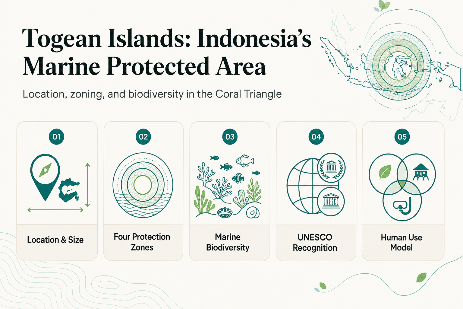
- The Togean Islands National Park covers 362,605 hectares (25,832 hectares land, 336,773 hectares marine waters), gazetted in 2004.
- It sits within the Coral Triangle and holds UNESCO Biosphere Reserve status, awarded in 2019 as the Togean Tojo Una-Una Biosphere Reserve [unesco.org].
- The park uses a four-zone system: core zone, marine protection zone, utilization zone, and traditional zone, each with different rules on human use.
- Documented biodiversity includes up to 942 fish species, 750 coral reef species, 541 mollusc species, and three endemic coral species.
- Reconnect operates on Buka Buka Island, adjacent to the park, not inside it.
What Exactly Is a Marine Protected Area, and Why Does Indonesia Have So Many?
A Marine Protected Area (MPA) is a defined body of water where a government restricts certain human activities, fishing methods, extraction, or development, to conserve the ecosystem inside its boundary. Indonesia manages 76 of them, totaling 13.5 million hectares, because it sits at the center of the Coral Triangle, the zone of highest marine biodiversity on Earth. The country has committed to expanding MPA coverage to 30% of its oceans by 2030 [cetex.org].
Not every MPA works the same way. Some are strict no-take reserves; others, like Togean, blend conservation with regulated tourism and traditional fishing rights held by local communities.
Where Does the Togean Islands National Park Sit on Indonesia's Coral Triangle Map?
The Togean Islands National Park sits in the Gulf of Tomini, Tojo Una-Una Regency, Central Sulawesi. It occupies a distinctive spot on any coral triangle map: an archipelago in the middle of a gulf rather than on an open coastline, which shapes water circulation, larval dispersal, and the reef structures that formed here.
The park's total footprint breaks down as follows:
| Component | Area |
|---|---|
| Terrestrial land | 25,832 hectares |
| Marine waters | 336,773 hectares |
| Total protected area | 362,605 hectares |
That marine-to-land ratio, over 92% water, is why the park functions primarily as a reef and channel system rather than an island group with incidental water around it.
How Does Indonesia Zone a Marine Protected Area Like Togean?
Zoning is the mechanism that lets a single MPA serve conservation and human use at once. Indonesia's national park system divides Togean into four classifications, each with a different rulebook:
- Core zone: strictly protected, no extraction or alteration of any kind permitted.
- Marine protection zone: buffers the core zone, restricts damaging activity while allowing some regulated passage.
- Utilization zone: permits non-extractive ecotourism and recreation, snorkeling, diving, and boat access.
- Traditional zone: allows local communities to fish and harvest sustainably using traditional methods.
Think of it like a nature reserve with a visitor center, a wilderness core, and a working farm on its edge, all inside one boundary, each governed by different rules for what can happen there.
What Does UNESCO Biosphere Reserve Status Add to the National Park Designation?
Indonesia designates Togean as a Taman Nasional Kepulauan Togean, a National Park, at the domestic level. In 2019, UNESCO layered an additional recognition on top: the Togean Tojo Una-Una Biosphere Reserve [unesco.org]. The two designations are not redundant.
The national park status sets the legal zoning and enforcement inside Indonesia. The Biosphere Reserve designation places Togean within UNESCO's global network of sites chosen to demonstrate a balance between biodiversity conservation and sustainable human use, a marker of international scientific significance, not a separate layer of local law.
What Biodiversity Justifies Togean's Place in Indonesia's Marine Conservation Strategy?
The numbers explain why this stretch of the Gulf of Tomini earned protection in the first place. Marine surveys, including work by Conservation International and the ASEAN ENMAPS project, have documented up to 942 fish species, 750 coral reef species, and 541 mollusc species inside the park boundary.
The park also holds species found nowhere else: three endemic coral species, the Togean macaque, the Togean babirusa, and the Togean hawk-owl. That combination, marine and terrestrial endemism in one gazetted area, is part of why Togean's conservation zones exist as drawn rather than as a simpler open-access marine zone.
Where Does Reconnect Fit on This Map?
Reconnect is on Buka Buka Island in the Togean Islands, adjacent to the national park rather than inside its boundary. Day-to-day diving, snorkeling, and house-reef access happen in the waters directly around Buka Buka Island.
Entry into the park's protected core itself is a separate, paid excursion: the Togean Day Trip, run by private boat. Reconnect's own footprint is built to match the conservation logic of the region it sits beside: 93% solar power, on-site desalinated water, zero single-use plastics policy, and a Blue Oceans certified dive center. Every staff member is hired from surrounding villages, with supplier partnerships extending into those same communities.
Accommodation ranges across eight types, from Beachfront Glamping Hut and Pyramid units at EUR 60/night to Villa Athena at EUR 175/night, all-inclusive full board. Reconnect is one of the few properties in the Togean Islands offering air conditioning, available in select rooms including the Beachfront Villa with AC, though not resort-wide. Reaching the island runs through Luwuk Airport, followed by a coordinated road transfer to Ampana and a 30-45 minute speedboat crossing, arranged directly by the resort.
Frequently Asked Questions
Can visitors enter the core protection zone of the park?
No. The core zone permits no extraction or alteration and is not open for recreational use; visitor activity is confined to the utilization zone, typically via a guided excursion.
When did the Togean Islands receive UNESCO recognition?
In 2019, as the Togean Tojo Una-Una Biosphere Reserve, in addition to its existing national park designation [unesco.org].
How do I arrange a stay at Reconnect and book park access?
Visit reconnect.id. The resort coordinates all transfers from Luwuk Airport and manages bookings for the Togean Day Trip as a separate paid excursion.
Reconnect is an eco-resort with an on-site SSI dive center on Buka Buka Island, Central Sulawesi, founded by Thomas Despin. The resort runs 93% solar-powered with on-site desalinated water and zero single-use plastics. Rooms start from EUR 60/night, all-inclusive full board. Visit reconnect.id to plan your stay.
References
- Ministry of Forestry Decree SK.418/Menhut-II/2004 (gov.go.id)
- Togean Tojo Una-Una Biosphere Reserve (unesco.org)
- Financing Indonesia's Marine Protected Areas: from designation to effective governance (cetex.org)
- Togean Site Visit | ASEAN ENMAPS (enmaps.aseanbiodiversity.org)